Student Site
Storm-e (New York City version)
Student Site
Infrared Imagery

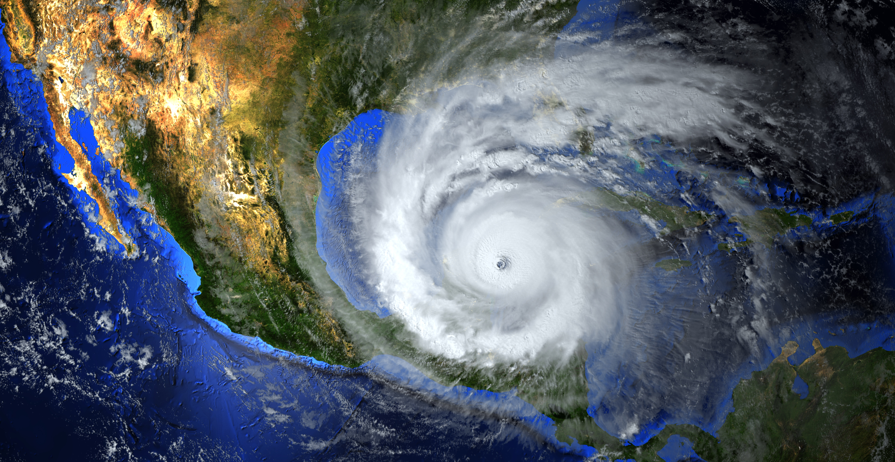
Visible and infrared are two types of satellite images. The two images on this page show the same weather system.
These images are from the GOES satellite. GOES stands for Geostationary Operational Environmental Satellites. It is a joint effort between NASA and the National Oceanic and Atmospheric Administration (NOAA). GOES images are seen every day on TV by millions of people.
Visible images (below) measure the amount of solar radiation the clouds reflect. Dark areas are where small amounts are reflected back to space. Bright areas are places where large amounts are reflected back to space.
Thick clouds reflect more light than thin clouds. They appear brighter in a visible image. The example here shows a wide line of clouds. These clouds stretch across the southeastern United States and then northward into Ontario and Quebec.

In contrast, infrared images (below) are related to temperature. Cold objects are white and hot surfaces are black. The warmer the temperature at the top of the cloud, the lower the clouds and the darker the color. The colder the temperature, the higher the clouds and the brighter the color.

The air inside convective clouds circulates rapidly up and down as warm air rises and cool air sinks. In image b, a region of deep convective clouds stretches from Alabama northeastward into New York. They appear bright white because of their high cloud tops and extremely cold cloud top temperatures. This type of cloud is often associated with severe weather.