
Teacher Site
Hurricane Alert
Teacher Site
Activity- Introduction Tracking a Hurricane (Student Page)
Introduction
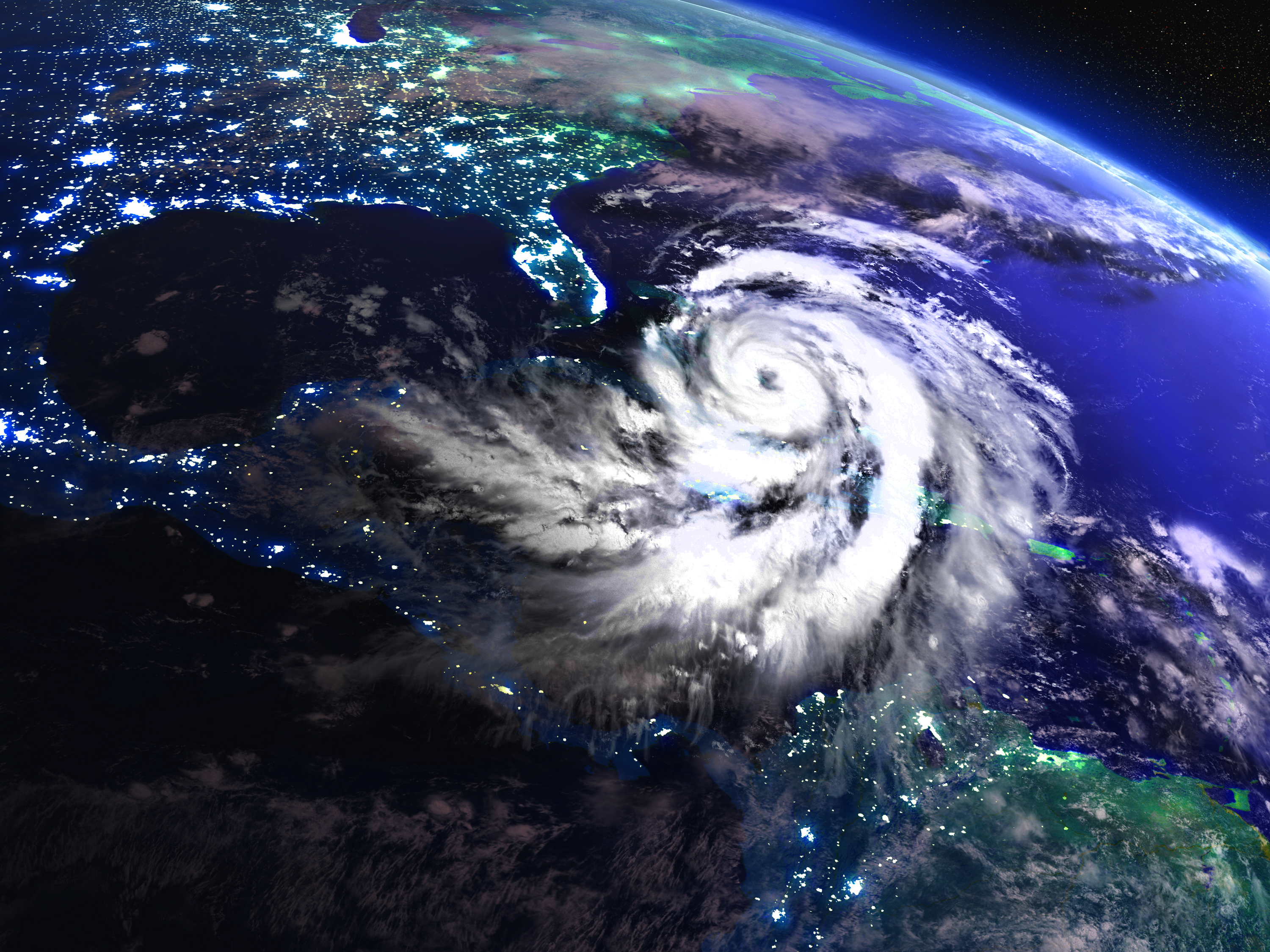
Hurricanes are violent storms with wind speeds of 74 miles per hour (119 kilometers per hour) or greater. Hurricanes form along the trade winds latitudes and occur especially in the western Atlantic. If they hit land, they can cause extensive damage and loss of lives. Loss of life, property damage, from the high winds and flooding, storm surge damage, land and beach erosion, and increased infectious diseases are serious consequences of hurricanes making landfall.
It is essential that people at risk from these severe weather events have enough warning to prepare for their safety. They need time to protect their homes and property and to evacuate to a safer place, if necessary. The National Hurricane Center tracks all tropical weather events in order to advise people who may be at risk.
Purpose
In this lesson, you will practice a few of the critical skills needed for your e-Mission Hurricane Alert! During the mission, you take the roles of meteorologists monitoring the Atlantic Ocean during hurricane season. You will need to know how to use the latitude and longitude coordinates to locate a storm's position and to help predict its path. You also rate the storm according to the Saffir-Simpson Hurricane Wind Scale and try to predict where the storm may make landfall.
Objective
Students will:
- Review the concept of latitude and longitude as a way of locating places on a map
- Practice plotting latitude and longitude coordinates on a map to track a hurricane
- Apply the Saffir-Simpson Hurricane Wind Scale to the wind speeds of a hurricane to assign the hurricane category
- Interpret the hurricane track in order to recommend safety measures for residents living in the danger zone
- Be able to apply coordinate plotting to your Hurricane Alert! simulation
Materials
- Pencils
- Activity Handout- Tracking a Hurricane Procedure (Student Pages)
- Tracking Map